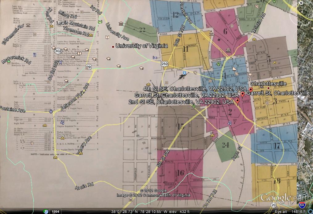
This week’s exercise included getting a historical map and overlaying it on top of Google Earth. As I am prone to do, I ended up making my life a lot more complicated than it should be.
Having grown up in Charlottesville, Va before I moved to Manassas, Va I wanted to overlay a historical map of Charlottesville Historic Downtown Mall. I went in search of historical maps dating back to the 1900s and later. I came up short. I was lead to the University of Virginia’s website which then proved unhelpful as they did not provide me with the .JPEG images of the maps that were large enough for me to zoom in and out of.
I went to the the United States Geological Society to see if I could find some historical maps there. While there were plenty of KML files, the website proved unsuccessful in allowing me to overlay the image ontop of a current map by myself.
I went to the Charlottesville Historical Society’s website. Which ALSO proved unhelpful. What I later learned was that the Sanborn Map Company, which back in the 1900s made maps for just about any city in the United States, had made an insurance map of downtown Charlottesville. Having narrowed it down to a company that had obviously created maps for just what I was looking for, I went and did more searching around. I even went to the University Library Database to see if there was a database of historical websites. I ended up getting more frustrated and lost.
After about a 30 minute search, I came upon a Pinterest of all things. Which had EXACTLY what I was looking for including a link to more maps.
I copied the .JPEG file and went into Google Earth.
This only proved to be part of my continuous frustration. As I went to overlay the .JPEG of the map of downtown Charlottesville from 1907, I came upon a problem. Not only was the file too big, (in fact too large for me to upload to this blog posting), but I couldn’t resize the image without zooming in and out of the original space. I spent a good hour and a half trying to size and resize my map, only to become even more frustrated in the process. Once I had found fourth street, I didn’t know where exactly I needed to place my map along the street for it to align perfectly with the current street locations and names. Everytime I went to move my map to align with the current view, my map would revert back to where it had stood, making me need to do the whole process over again.
In the end, I admit I gave up. As you see below, I failed miserably in aligning this historical map with the current view. For that I apologize. However, please understand that my frustration was all for a good cause and that I did in fact try.

